Ton Pentre railway station platform
Introduction
The photograph on this page of Ton Pentre railway station platform by Jaggery as part of the Geograph project.
The Geograph project started in 2005 with the aim of publishing, organising and preserving representative images for every square kilometre of Great Britain, Ireland and the Isle of Man.

There are currently over 7.5m images from over 14,400 individuals and you can help contribute to the project by visiting https://www.geograph.org.uk
Ton Pentre railway station platform
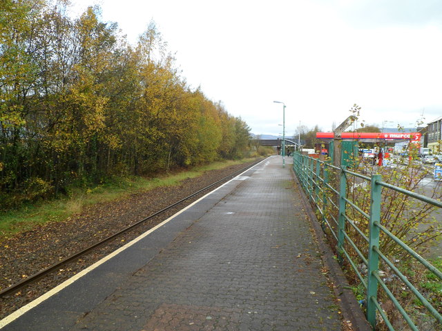
Image: © Jaggery Taken: 3 Nov 2011
A view to the NW along the only platform at Ton Pentre station, on the Rhondda Line between Ystrad Rhondda and Treorchy stations. The far end of the station is located on a bridge http://www.geograph.org.uk/photo/2682904 over the Rhondda Fawr river.
Images are licensed for reuse under creativecommons.org/licenses/by-sa/2.0
Image Location
Latitude
51.647067
Longitude
-3.487175