The Halfway Road near Domore (1)
Introduction
The photograph on this page of The Halfway Road near Domore (1) by Albert Bridge as part of the Geograph project.
The Geograph project started in 2005 with the aim of publishing, organising and preserving representative images for every square kilometre of Great Britain, Ireland and the Isle of Man.

There are currently over 7.5m images from over 14,400 individuals and you can help contribute to the project by visiting https://www.geograph.org.uk
The Halfway Road near Domore (1)
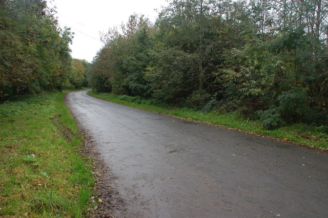
Image: © Albert Bridge Taken: 28 Oct 2006
See Image The present road and the line of the old are almost the same in part of this square. This is the Halfway Road, looking towards Banbridge, from the corner of Lisnaward Hill, close to where it joins the present dual carriageway. It continued to the section of old road shown in the link. The section behind me is a cul-de-sac.
Images are licensed for reuse under creativecommons.org/licenses/by-sa/2.0
Image Location
Latitude
54.379913
Longitude
-6.189156