Tributary, River Crouch
Introduction
The photograph on this page of Tributary, River Crouch by terry joyce as part of the Geograph project.
The Geograph project started in 2005 with the aim of publishing, organising and preserving representative images for every square kilometre of Great Britain, Ireland and the Isle of Man.

There are currently over 7.5m images from over 14,400 individuals and you can help contribute to the project by visiting https://www.geograph.org.uk
Tributary, River Crouch
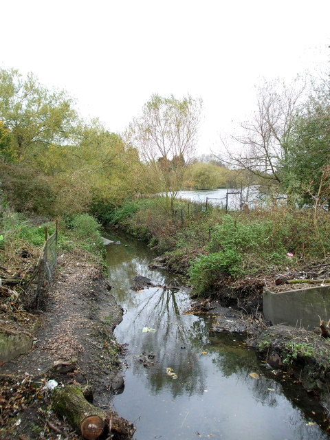
Image: © terry joyce Taken: 6 Nov 2011
This stream is a tributary of the River Crouch. This section first surfaces in a culvert near Butneys and flows through Gloucester Park. It joins the Crouch near Crays Hill.
Images are licensed for reuse under creativecommons.org/licenses/by-sa/2.0
Image Location
Latitude
51.582345
Longitude
0.459607