Bloomfield Avenue development site, Belfast
Introduction
The photograph on this page of Bloomfield Avenue development site, Belfast by Albert Bridge as part of the Geograph project.
The Geograph project started in 2005 with the aim of publishing, organising and preserving representative images for every square kilometre of Great Britain, Ireland and the Isle of Man.

There are currently over 7.5m images from over 14,400 individuals and you can help contribute to the project by visiting https://www.geograph.org.uk
Bloomfield Avenue development site, Belfast
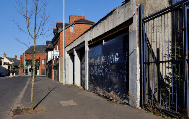
Image: © Albert Bridge Taken: 6 Nov 2011
Formerly a garage on the north eastern side of Bloomfield Avenue – now derelict. I seem to remember that the site had planning permission for a replacement building which remains unbuilt. Laburnum Lane Image is between the site and the red gable. Image (April 2013) shows the site after demolition.
Images are licensed for reuse under creativecommons.org/licenses/by-sa/2.0
Image Location
Latitude
54.596978
Longitude
-5.889392