Bell Pit Remains in West Wood
Introduction
The photograph on this page of Bell Pit Remains in West Wood by Jonathan Clitheroe as part of the Geograph project.
The Geograph project started in 2005 with the aim of publishing, organising and preserving representative images for every square kilometre of Great Britain, Ireland and the Isle of Man.

There are currently over 7.5m images from over 14,400 individuals and you can help contribute to the project by visiting https://www.geograph.org.uk
Bell Pit Remains in West Wood
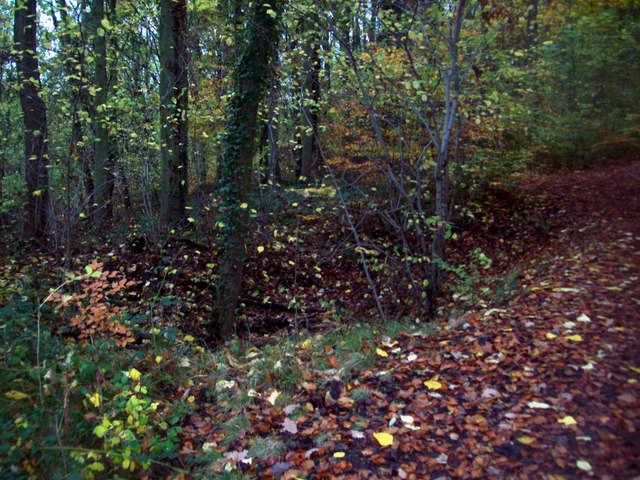
Image: © Jonathan Clitheroe Taken: 5 Nov 2011
One of many hollows that can be seen near to the footpath in this area of the wood. These are the remains of manually dug shafts known as bell pits. Beneath a layer of sandstone, iron ore and coal were extracted before being roughly backfilled once the mine became unstable.
Images are licensed for reuse under creativecommons.org/licenses/by-sa/2.0
Image Location
Latitude
53.245836
Longitude
-1.379701