Dyffryn Cellwen houses between the post office and pub
Introduction
The photograph on this page of Dyffryn Cellwen houses between the post office and pub by Jaggery as part of the Geograph project.
The Geograph project started in 2005 with the aim of publishing, organising and preserving representative images for every square kilometre of Great Britain, Ireland and the Isle of Man.

There are currently over 7.5m images from over 14,400 individuals and you can help contribute to the project by visiting https://www.geograph.org.uk
Dyffryn Cellwen houses between the post office and pub
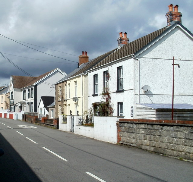
Image: © Jaggery Taken: 4 Sep 2011
Main Road houses viewed from opposite the post office. http://www.geograph.org.uk/photo/2680677 In the distance, facing School Road, is The Dyffryn pub.
Images are licensed for reuse under creativecommons.org/licenses/by-sa/2.0
Image Location
Latitude
51.776877
Longitude
-3.663936