Towards Tregonning Hill
Introduction
The photograph on this page of Towards Tregonning Hill by Ian Capper as part of the Geograph project.
The Geograph project started in 2005 with the aim of publishing, organising and preserving representative images for every square kilometre of Great Britain, Ireland and the Isle of Man.

There are currently over 7.5m images from over 14,400 individuals and you can help contribute to the project by visiting https://www.geograph.org.uk
Towards Tregonning Hill
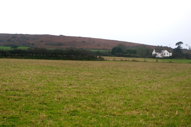
Image: © Ian Capper Taken: 23 Oct 2011
Looking across to the northern end of Tregonning Hill from the footpath that leads from Herland Farm to Tregonning.
Images are licensed for reuse under creativecommons.org/licenses/by-sa/2.0
Image Location
Latitude
50.128364
Longitude
-5.354457