Farmland at Mount Farm
Introduction
The photograph on this page of Farmland at Mount Farm by Bill Nicholls as part of the Geograph project.
The Geograph project started in 2005 with the aim of publishing, organising and preserving representative images for every square kilometre of Great Britain, Ireland and the Isle of Man.

There are currently over 7.5m images from over 14,400 individuals and you can help contribute to the project by visiting https://www.geograph.org.uk
Farmland at Mount Farm
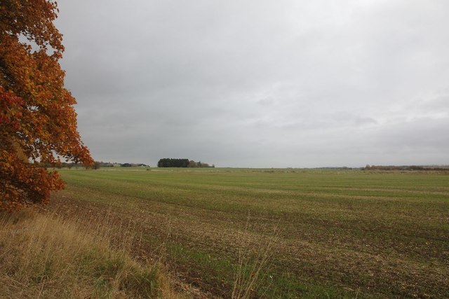
Image: © Bill Nicholls Taken: 30 Oct 2011
View across the farmland towards Mount Farm near Berinsfield, this used to be an airfield in the second world war.
Images are licensed for reuse under creativecommons.org/licenses/by-sa/2.0
Image Location


Leaflet Map data © OpenStreetMap
Latitude
51.658678
Longitude
-1.169569