Field of fire, Brompton Road
Introduction
The photograph on this page of Field of fire, Brompton Road by David Anstiss as part of the Geograph project.
The Geograph project started in 2005 with the aim of publishing, organising and preserving representative images for every square kilometre of Great Britain, Ireland and the Isle of Man.

There are currently over 7.5m images from over 14,400 individuals and you can help contribute to the project by visiting https://www.geograph.org.uk
Field of fire, Brompton Road
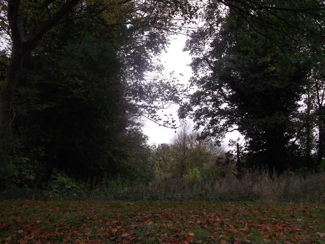
Image: © David Anstiss Taken: 4 Nov 2011
This wild patch of weeds and trees are on the line of a military ditch. In 1758, the Chatham Lines of Defence were built. Over a mile long, they stretched across the neck of the dockyard peninsula, from Chatham Reach, south of the dockyard, across to Gillingham Reach on the opposite side towards Fort Amhurst. Some parts of the ditch still exist - Image
Images are licensed for reuse under creativecommons.org/licenses/by-sa/2.0
Image Location
Latitude
51.391241
Longitude
0.535304