Crossroads at Croes-y-byrn
Introduction
The photograph on this page of Crossroads at Croes-y-byrn by Stuart Logan as part of the Geograph project.
The Geograph project started in 2005 with the aim of publishing, organising and preserving representative images for every square kilometre of Great Britain, Ireland and the Isle of Man.

There are currently over 7.5m images from over 14,400 individuals and you can help contribute to the project by visiting https://www.geograph.org.uk
Crossroads at Croes-y-byrn
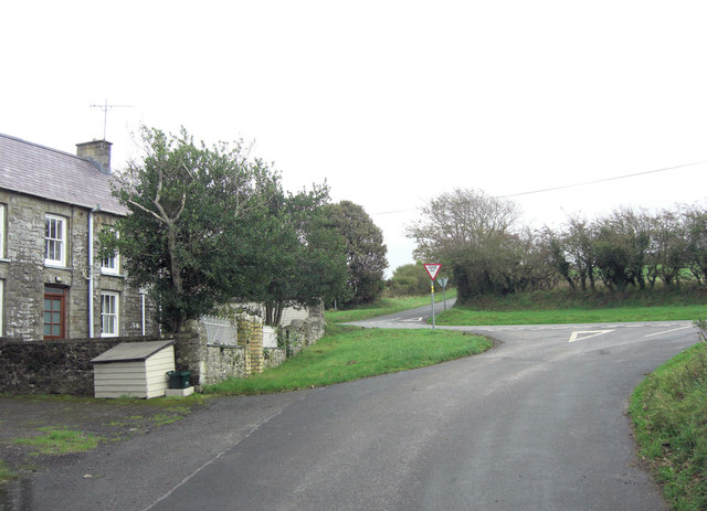
Image: © Stuart Logan Taken: 8 Oct 2011
Looking closely at the map, this crossroads is at the centre of a symmetrical, butterfly shaped arrangement of lanes.
Images are licensed for reuse under creativecommons.org/licenses/by-sa/2.0
Image Location
Latitude
52.133411
Longitude
-4.498385