Harcourt Drive, Canterbury
Introduction
The photograph on this page of Harcourt Drive, Canterbury by Des Blenkinsopp as part of the Geograph project.
The Geograph project started in 2005 with the aim of publishing, organising and preserving representative images for every square kilometre of Great Britain, Ireland and the Isle of Man.

There are currently over 7.5m images from over 14,400 individuals and you can help contribute to the project by visiting https://www.geograph.org.uk
Harcourt Drive, Canterbury
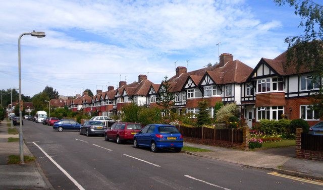
Image: © Des Blenkinsopp Taken: 20 Aug 2011
At first glance these are your typical suburban semis, except they are blocks of four, with two terraced units in the centre of each block.
Images are licensed for reuse under creativecommons.org/licenses/by-sa/2.0
Image Location
Latitude
51.285908
Longitude
1.065917