Fore Street, Callington
Introduction
The photograph on this page of Fore Street, Callington by Derek Harper as part of the Geograph project.
The Geograph project started in 2005 with the aim of publishing, organising and preserving representative images for every square kilometre of Great Britain, Ireland and the Isle of Man.

There are currently over 7.5m images from over 14,400 individuals and you can help contribute to the project by visiting https://www.geograph.org.uk
Fore Street, Callington
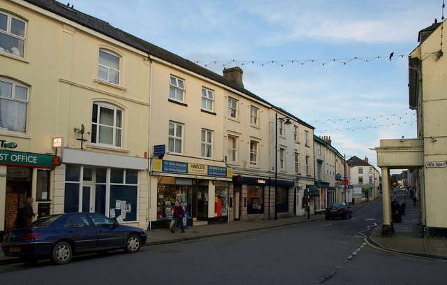
Image: © Derek Harper Taken: 1 Nov 2011
From the junction with New Road, with the post office on the extreme left. The construction of the "New Road" meant the demolition of half of the old C18 coaching inn on the right, but the original porch remains http://www.britishlistedbuildings.co.uk/en-61226-goldings-flats-callington . Taken as dusk falls.
Images are licensed for reuse under creativecommons.org/licenses/by-sa/2.0
Image Location
Latitude
50.502973
Longitude
-4.315113