Nant Ian, Ton Pentre
Introduction
The photograph on this page of Nant Ian, Ton Pentre by Jaggery as part of the Geograph project.
The Geograph project started in 2005 with the aim of publishing, organising and preserving representative images for every square kilometre of Great Britain, Ireland and the Isle of Man.

There are currently over 7.5m images from over 14,400 individuals and you can help contribute to the project by visiting https://www.geograph.org.uk
Nant Ian, Ton Pentre
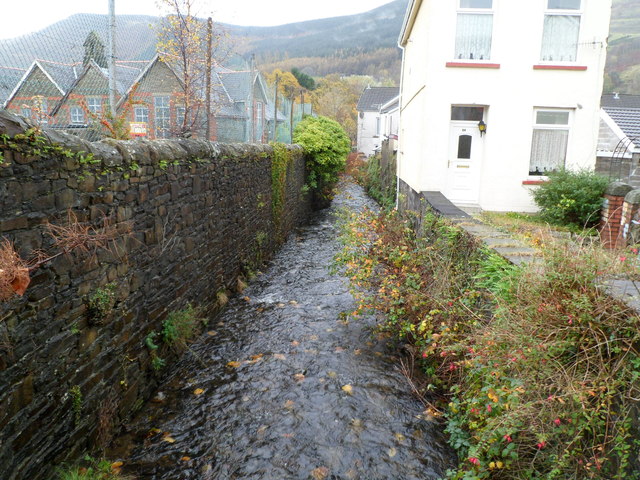
Image: © Jaggery Taken: 3 Nov 2011
Nant Ian flows away from Maindy Road, towards the Rhondda Fawr about 150 metres from the camera. On the left is Ton Pentre Junior School. Behind the camera is Ton Pentre police station. http://www.geograph.org.uk/photo/2678986
Images are licensed for reuse under creativecommons.org/licenses/by-sa/2.0
Image Location
Latitude
51.647911
Longitude
-3.491539