Plym Bridge
Introduction
The photograph on this page of Plym Bridge by Derek Harper as part of the Geograph project.
The Geograph project started in 2005 with the aim of publishing, organising and preserving representative images for every square kilometre of Great Britain, Ireland and the Isle of Man.

There are currently over 7.5m images from over 14,400 individuals and you can help contribute to the project by visiting https://www.geograph.org.uk
Plym Bridge
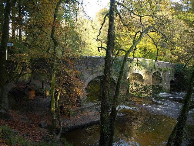
Image: © Derek Harper Taken: 1 Nov 2011
Very similar to Image - a little further into autumn. The listed bridge gets two descriptions, at http://www.britishlistedbuildings.co.uk/en-99232-plym-bridge-that-part-in-south-hams-distr and http://www.britishlistedbuildings.co.uk/en-473714-plym-bridge-plymouth , as it links two parishes.
Images are licensed for reuse under creativecommons.org/licenses/by-sa/2.0
Image Location
Latitude
50.409664
Longitude
-4.079028