Kingstone with Gratwich Village Hall
Introduction
The photograph on this page of Kingstone with Gratwich Village Hall by Mick Malpass as part of the Geograph project.
The Geograph project started in 2005 with the aim of publishing, organising and preserving representative images for every square kilometre of Great Britain, Ireland and the Isle of Man.

There are currently over 7.5m images from over 14,400 individuals and you can help contribute to the project by visiting https://www.geograph.org.uk
Kingstone with Gratwich Village Hall
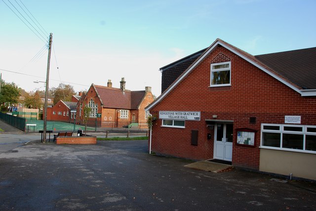
Image: © Mick Malpass Taken: 30 Oct 2011
The front of the village hall is in this square, the rear of the hall and the village school, which can be seen to the left, are in the next square SK0629.
Images are licensed for reuse under creativecommons.org/licenses/by-sa/2.0
Image Location
Latitude
52.863223
Longitude
-1.912471