The derelict and overgrown St Mary's Allotments
Introduction
The photograph on this page of The derelict and overgrown St Mary's Allotments by Mat Fascione as part of the Geograph project.
The Geograph project started in 2005 with the aim of publishing, organising and preserving representative images for every square kilometre of Great Britain, Ireland and the Isle of Man.

There are currently over 7.5m images from over 14,400 individuals and you can help contribute to the project by visiting https://www.geograph.org.uk
The derelict and overgrown St Mary's Allotments
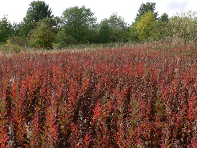
Image: © Mat Fascione Taken: 25 Sep 2011
These allotments are situated between Aylestone Road, Saffron Lane and Hughenden Drive, they have been derelict since the early 1990s.
Images are licensed for reuse under creativecommons.org/licenses/by-sa/2.0
Image Location
Latitude
52.614172
Longitude
-1.138764