Path around Plymouth City Airport
Introduction
The photograph on this page of Path around Plymouth City Airport by Derek Harper as part of the Geograph project.
The Geograph project started in 2005 with the aim of publishing, organising and preserving representative images for every square kilometre of Great Britain, Ireland and the Isle of Man.

There are currently over 7.5m images from over 14,400 individuals and you can help contribute to the project by visiting https://www.geograph.org.uk
Path around Plymouth City Airport
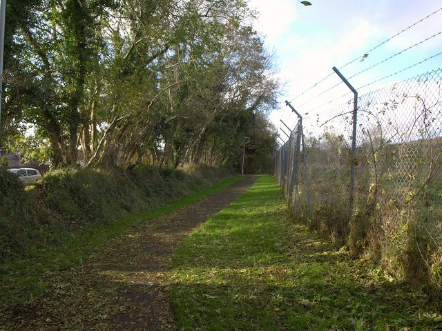
Image: © Derek Harper Taken: 1 Nov 2011
The westernmost stretch, approaching Durris Gardens, of the perimeter path around the airport, which has now seen its last commercial passenger flight and will close by the end of the year.
Images are licensed for reuse under creativecommons.org/licenses/by-sa/2.0
Image Location
Latitude
50.419412
Longitude
-4.10212