Clachan of Campsie, Kirk Burn
Introduction
The photograph on this page of Clachan of Campsie, Kirk Burn by Robert Murray as part of the Geograph project.
The Geograph project started in 2005 with the aim of publishing, organising and preserving representative images for every square kilometre of Great Britain, Ireland and the Isle of Man.

There are currently over 7.5m images from over 14,400 individuals and you can help contribute to the project by visiting https://www.geograph.org.uk
Clachan of Campsie, Kirk Burn
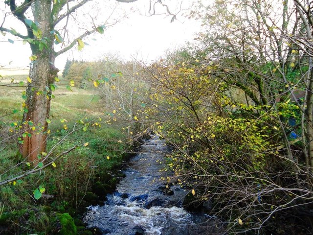
Image: © Robert Murray Taken: 1 Nov 2011
Beginning to hit level ground after its pretty spectacular series of falls off the hill.
Images are licensed for reuse under creativecommons.org/licenses/by-sa/2.0
Image Location
Latitude
55.988895
Longitude
-4.229958