Cardigan Quay and castle
Introduction
The photograph on this page of Cardigan Quay and castle by Jeremy Bolwell as part of the Geograph project.
The Geograph project started in 2005 with the aim of publishing, organising and preserving representative images for every square kilometre of Great Britain, Ireland and the Isle of Man.

There are currently over 7.5m images from over 14,400 individuals and you can help contribute to the project by visiting https://www.geograph.org.uk
Cardigan Quay and castle
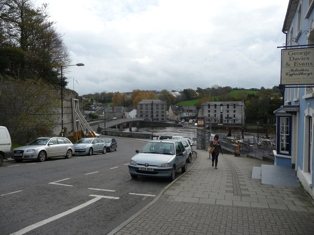
Image: © Jeremy Bolwell Taken: 2 Nov 2011
A very historic and important point in the town, with the old quay below on the Afon Teifi and to the left the remnants of Cardigan Castle, now at long last thankfully about to be restored.
Images are licensed for reuse under creativecommons.org/licenses/by-sa/2.0
Image Location
Latitude
52.081516
Longitude
-4.662903