Bridge and crossing at Bruern Abbey
Introduction
The photograph on this page of Bridge and crossing at Bruern Abbey by William Bartlett as part of the Geograph project.
The Geograph project started in 2005 with the aim of publishing, organising and preserving representative images for every square kilometre of Great Britain, Ireland and the Isle of Man.

There are currently over 7.5m images from over 14,400 individuals and you can help contribute to the project by visiting https://www.geograph.org.uk
Bridge and crossing at Bruern Abbey
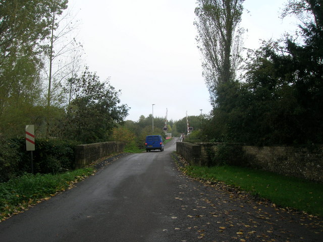
Image: © William Bartlett Taken: 23 Oct 2006
Stone bridge over the River Evenlode with railway level crossing beyond. Photo taken at one entrance to Bruern Abbey, which is now a Prep school but clearly has an interesting history with the exact location of the real Abbey (founded in 1147) still a mystery.
Images are licensed for reuse under creativecommons.org/licenses/by-sa/2.0
Image Location


Leaflet Map data © OpenStreetMap
Latitude
51.882428
Longitude
-1.613506