Old school building on Castlehill
Introduction
The photograph on this page of Old school building on Castlehill by kim traynor as part of the Geograph project.
The Geograph project started in 2005 with the aim of publishing, organising and preserving representative images for every square kilometre of Great Britain, Ireland and the Isle of Man.

There are currently over 7.5m images from over 14,400 individuals and you can help contribute to the project by visiting https://www.geograph.org.uk
Old school building on Castlehill
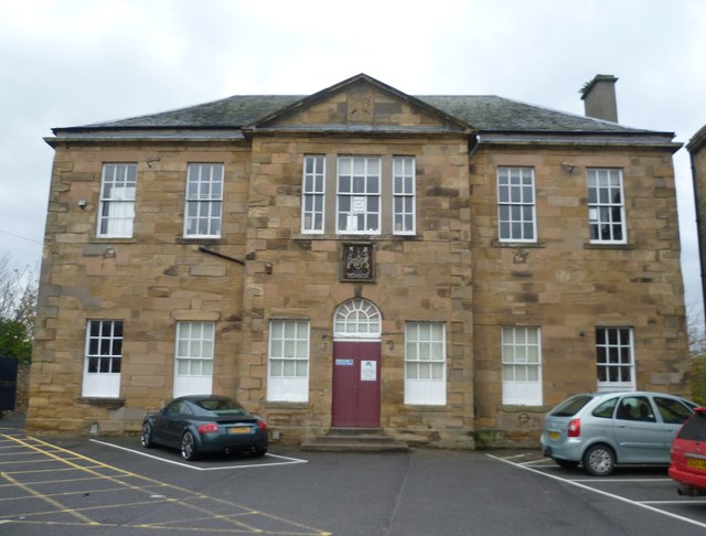
Image: © kim traynor Taken: 22 Oct 2011
The armorial tablet above the doorway was removed from the town's demolished tolbooth.
Images are licensed for reuse under creativecommons.org/licenses/by-sa/2.0
Image Location
Latitude
56.320027
Longitude
-3.010453