Overgrown clearing, Cod Wood
Introduction
The photograph on this page of Overgrown clearing, Cod Wood by Derek Harper as part of the Geograph project.
The Geograph project started in 2005 with the aim of publishing, organising and preserving representative images for every square kilometre of Great Britain, Ireland and the Isle of Man.

There are currently over 7.5m images from over 14,400 individuals and you can help contribute to the project by visiting https://www.geograph.org.uk
Overgrown clearing, Cod Wood
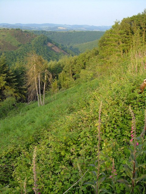
Image: © Derek Harper Taken: 7 Jun 2006
Undergrowth coats a cleared slope above the Teign. In the background is a view looking downstream, with a distinctive cleared area on the opposite side of the valley in Dunsford Wood.
Images are licensed for reuse under creativecommons.org/licenses/by-sa/2.0
Image Location
Latitude
50.686798
Longitude
-3.724727