Sandford Brook in Dry Sandford Pit NR
Introduction
The photograph on this page of Sandford Brook in Dry Sandford Pit NR by Des Blenkinsopp as part of the Geograph project.
The Geograph project started in 2005 with the aim of publishing, organising and preserving representative images for every square kilometre of Great Britain, Ireland and the Isle of Man.

There are currently over 7.5m images from over 14,400 individuals and you can help contribute to the project by visiting https://www.geograph.org.uk
Sandford Brook in Dry Sandford Pit NR
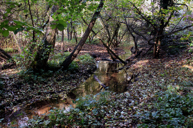
Image: © Des Blenkinsopp Taken: 31 Oct 2011
Dry Sandford Pit nature reserve contains many different habitats ranging from...err...dry sand to ponds and fen. With rock outcrops and woods as well it's all contained in a surprisingly small area of old quarry. Sandford Brook flows down the western side providing yet more variation. http://www.bbowt.org.uk/content.asp?did=23585
Images are licensed for reuse under creativecommons.org/licenses/by-sa/2.0
Image Location
Latitude
51.691871
Longitude
-1.326366