Llwynsilio
Introduction
The photograph on this page of Llwynsilio by Stuart Logan as part of the Geograph project.
The Geograph project started in 2005 with the aim of publishing, organising and preserving representative images for every square kilometre of Great Britain, Ireland and the Isle of Man.

There are currently over 7.5m images from over 14,400 individuals and you can help contribute to the project by visiting https://www.geograph.org.uk
Llwynsilio
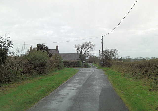
Image: © Stuart Logan Taken: 8 Oct 2011
The lane ahead narrows into a single track road until St Tysilio Church and after that the words single and road can be omitted. To the left is the beach at Cwmtudu. The farmstead which gives its name to the junction is early 18th C.
Images are licensed for reuse under creativecommons.org/licenses/by-sa/2.0
Image Location


Leaflet Map data © OpenStreetMap
Latitude
52.188331
Longitude
-4.395537