Down Albert Street
Introduction
The photograph on this page of Down Albert Street by Ian Paterson as part of the Geograph project.
The Geograph project started in 2005 with the aim of publishing, organising and preserving representative images for every square kilometre of Great Britain, Ireland and the Isle of Man.

There are currently over 7.5m images from over 14,400 individuals and you can help contribute to the project by visiting https://www.geograph.org.uk
Down Albert Street
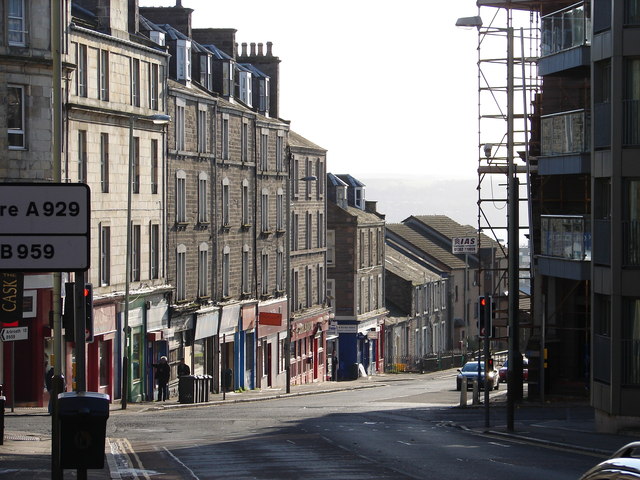
Image: © Ian Paterson Taken: 1 Nov 2011
Looking downhill from the road junction with Victoria Street to the right and Arbroath Road to the left, the tenement flats and shops showing the steep drop in level down towards the city centre. The Kingdom of Fife is visible as a grey wash in the background, separated by the silv'ry Tay.
Images are licensed for reuse under creativecommons.org/licenses/by-sa/2.0
Image Location
Latitude
56.467792
Longitude
-2.957892