Top o'Town Car park
Introduction
The photograph on this page of Top o'Town Car park by Nigel Mykura as part of the Geograph project.
The Geograph project started in 2005 with the aim of publishing, organising and preserving representative images for every square kilometre of Great Britain, Ireland and the Isle of Man.

There are currently over 7.5m images from over 14,400 individuals and you can help contribute to the project by visiting https://www.geograph.org.uk
Top o'Town Car park
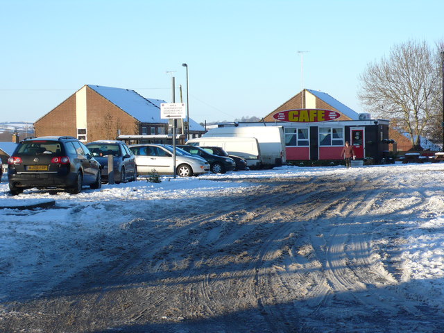
Image: © Nigel Mykura Taken: 18 Dec 2010
Looking onto the snowy top o'town car park with its small cafe from the Bridport Rd. It is called Top o'Town because of its location at the top of the High St rather than the highest elevation
Images are licensed for reuse under creativecommons.org/licenses/by-sa/2.0
Image Location


Leaflet Map data © OpenStreetMap
Latitude
50.714907
Longitude
-2.442862