Wraxall: nearing The Kennels
Introduction
The photograph on this page of Wraxall: nearing The Kennels by Martin Bodman as part of the Geograph project.
The Geograph project started in 2005 with the aim of publishing, organising and preserving representative images for every square kilometre of Great Britain, Ireland and the Isle of Man.

There are currently over 7.5m images from over 14,400 individuals and you can help contribute to the project by visiting https://www.geograph.org.uk
Wraxall: nearing The Kennels
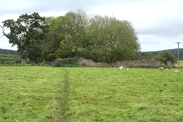
Image: © Martin Bodman Taken: 30 Oct 2011
Ruined walls and buildings - a site marked as The Kennels on the late nineteenth century first edition 25" Ordnance Survey map. In Wraxall parish
Images are licensed for reuse under creativecommons.org/licenses/by-sa/2.0
Image Location
Latitude
51.438104
Longitude
-2.737273