The Roman Way, NE15
Introduction
The photograph on this page of The Roman Way, NE15 by Mike Quinn as part of the Geograph project.
The Geograph project started in 2005 with the aim of publishing, organising and preserving representative images for every square kilometre of Great Britain, Ireland and the Isle of Man.

There are currently over 7.5m images from over 14,400 individuals and you can help contribute to the project by visiting https://www.geograph.org.uk
The Roman Way, NE15
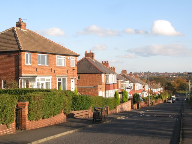
Image: © Mike Quinn Taken: 1 Nov 2011
The road lies on the line of Hadrian's Wall - see the map and satellite image http://openspace.nearby.org.uk/wheresthepath.htm?lat=54.98806422683588&lon=-1.7066949605941772&gz=18&oz=10>=1.
Images are licensed for reuse under creativecommons.org/licenses/by-sa/2.0
Image Location
Latitude
54.987888
Longitude
-1.706547