Upper Culphin
Introduction
The photograph on this page of Upper Culphin by Anne Burgess as part of the Geograph project.
The Geograph project started in 2005 with the aim of publishing, organising and preserving representative images for every square kilometre of Great Britain, Ireland and the Isle of Man.

There are currently over 7.5m images from over 14,400 individuals and you can help contribute to the project by visiting https://www.geograph.org.uk
Upper Culphin
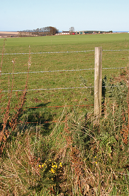
Image: © Anne Burgess Taken: 1 Nov 2011
As its name suggests, this farm stands almost on the highest point in the square, exposed to winds from all directions. Seen from the minor road near Rothen.
Images are licensed for reuse under creativecommons.org/licenses/by-sa/2.0
Image Location
Latitude
57.617709
Longitude
-2.662534