Alehouseburn Cottages
Introduction
The photograph on this page of Alehouseburn Cottages by Anne Burgess as part of the Geograph project.
The Geograph project started in 2005 with the aim of publishing, organising and preserving representative images for every square kilometre of Great Britain, Ireland and the Isle of Man.

There are currently over 7.5m images from over 14,400 individuals and you can help contribute to the project by visiting https://www.geograph.org.uk
Alehouseburn Cottages
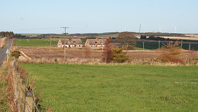
Image: © Anne Burgess Taken: 1 Nov 2011
The relatively modern cottages stand just off the B9025, on the access road to Alehouseburn Farm. On the skyline is the Boyndie wind farm.
Images are licensed for reuse under creativecommons.org/licenses/by-sa/2.0
Image Location
Latitude
57.62636
Longitude
-2.639585