Upper Blairmaud
Introduction
The photograph on this page of Upper Blairmaud by Anne Burgess as part of the Geograph project.
The Geograph project started in 2005 with the aim of publishing, organising and preserving representative images for every square kilometre of Great Britain, Ireland and the Isle of Man.

There are currently over 7.5m images from over 14,400 individuals and you can help contribute to the project by visiting https://www.geograph.org.uk
Upper Blairmaud
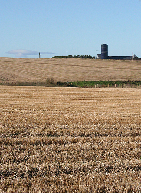
Image: © Anne Burgess Taken: 1 Nov 2011
The large farm of Upper Blairmaud stands on a ridge which runs north to south across this square, partly hidden from here by the lie of the land. The green in the middle is the bank on one side of the Den of Denniston, a dip eroded by a headwater of the Burn of Boyndie.
Images are licensed for reuse under creativecommons.org/licenses/by-sa/2.0
Image Location
Latitude
57.623909
Longitude
-2.644733