A24 in the Mole Gap
Introduction
The photograph on this page of A24 in the Mole Gap by Robin Webster as part of the Geograph project.
The Geograph project started in 2005 with the aim of publishing, organising and preserving representative images for every square kilometre of Great Britain, Ireland and the Isle of Man.

There are currently over 7.5m images from over 14,400 individuals and you can help contribute to the project by visiting https://www.geograph.org.uk
A24 in the Mole Gap
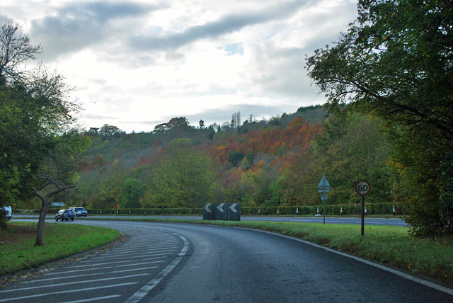
Image: © Robin Webster Taken: 1 Nov 2011
At the expense of some sharp bends, the road manages to stay on the east side of the River Mole until the bridge near Dorking. This carriageway has been reduced to one lane because of these bends and the several side turnings.
Images are licensed for reuse under creativecommons.org/licenses/by-sa/2.0
Image Location
Latitude
51.270146
Longitude
-0.328105