Bales near Collins End Common
Introduction
The photograph on this page of Bales near Collins End Common by Pam Brophy as part of the Geograph project.
The Geograph project started in 2005 with the aim of publishing, organising and preserving representative images for every square kilometre of Great Britain, Ireland and the Isle of Man.

There are currently over 7.5m images from over 14,400 individuals and you can help contribute to the project by visiting https://www.geograph.org.uk
Bales near Collins End Common
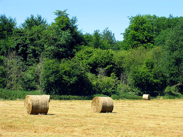
Image: © Pam Brophy Taken: 12 Jul 2005
This square is a mixture of farmland and woodland with a number of farms evident. This view of a field mown for hay, is in the eastern half of the square. The southern edge of Nunney Wood is at the bottom of the field.
Images are licensed for reuse under creativecommons.org/licenses/by-sa/2.0
Image Location
Latitude
51.501886
Longitude
-1.038046