Brunswick Street West
Introduction
The photograph on this page of Brunswick Street West by Simon Carey as part of the Geograph project.
The Geograph project started in 2005 with the aim of publishing, organising and preserving representative images for every square kilometre of Great Britain, Ireland and the Isle of Man.

There are currently over 7.5m images from over 14,400 individuals and you can help contribute to the project by visiting https://www.geograph.org.uk
Brunswick Street West
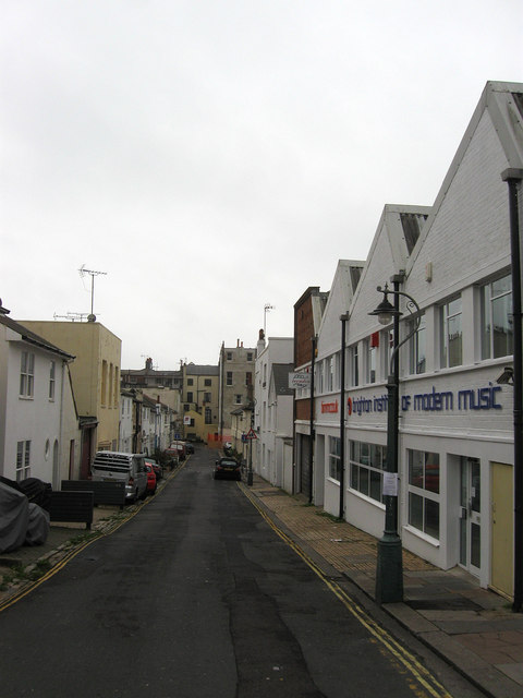
Image: © Simon Carey Taken: 30 Oct 2011
Built as part of the Brunswick Estate in the 1820s primarily as a service road behind the square and terrace of whom the rear of the latter can be seen at the end of the street. Still filled with small workshops today though to the right is the Brighton Institute of Modern Music, an independent college set up in 2001 for those wishing to enter the music business. This part of the campus was opened in 2009 to add to a smaller building in the northern part of the street.
Images are licensed for reuse under creativecommons.org/licenses/by-sa/2.0
Image Location
Latitude
50.824718
Longitude
-0.160335