Section of the old town wall, Inverkeithing
Introduction
The photograph on this page of Section of the old town wall, Inverkeithing by kim traynor as part of the Geograph project.
The Geograph project started in 2005 with the aim of publishing, organising and preserving representative images for every square kilometre of Great Britain, Ireland and the Isle of Man.

There are currently over 7.5m images from over 14,400 individuals and you can help contribute to the project by visiting https://www.geograph.org.uk
Section of the old town wall, Inverkeithing
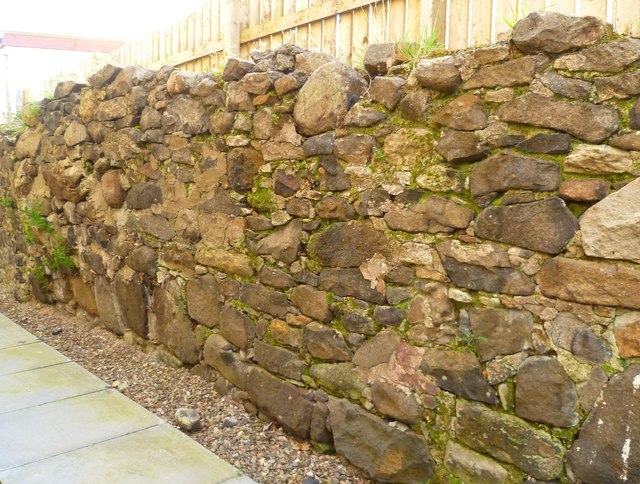
Image: © kim traynor Taken: 16 Oct 2011
This section of wall is hidden away between houses a few yards east of the site of the West Port.
Images are licensed for reuse under creativecommons.org/licenses/by-sa/2.0
Image Location
Latitude
56.029958
Longitude
-3.400189