B4338 reaches its summit level
Introduction
The photograph on this page of B4338 reaches its summit level by Stuart Logan as part of the Geograph project.
The Geograph project started in 2005 with the aim of publishing, organising and preserving representative images for every square kilometre of Great Britain, Ireland and the Isle of Man.

There are currently over 7.5m images from over 14,400 individuals and you can help contribute to the project by visiting https://www.geograph.org.uk
B4338 reaches its summit level
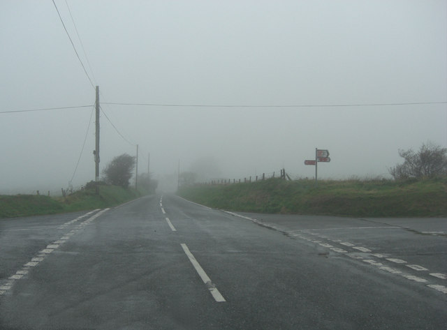
Image: © Stuart Logan Taken: 8 Oct 2011
As befits a road reaching more than 900 feet AMSL this useful 'B' road is now into the base of the low stratus associated with a warm sector depression. This is hill fog, seen as an un-named minor road crosses near Pant-y-grugos. Looking closely the viewer can also make out red-mist; sprayed onto the signposts!
Images are licensed for reuse under creativecommons.org/licenses/by-sa/2.0
Image Location
Latitude
52.154365
Longitude
-4.317837