Tun Bridge, Chew Magna
Introduction
The photograph on this page of Tun Bridge, Chew Magna by Rick Crowley as part of the Geograph project.
The Geograph project started in 2005 with the aim of publishing, organising and preserving representative images for every square kilometre of Great Britain, Ireland and the Isle of Man.

There are currently over 7.5m images from over 14,400 individuals and you can help contribute to the project by visiting https://www.geograph.org.uk
Tun Bridge, Chew Magna
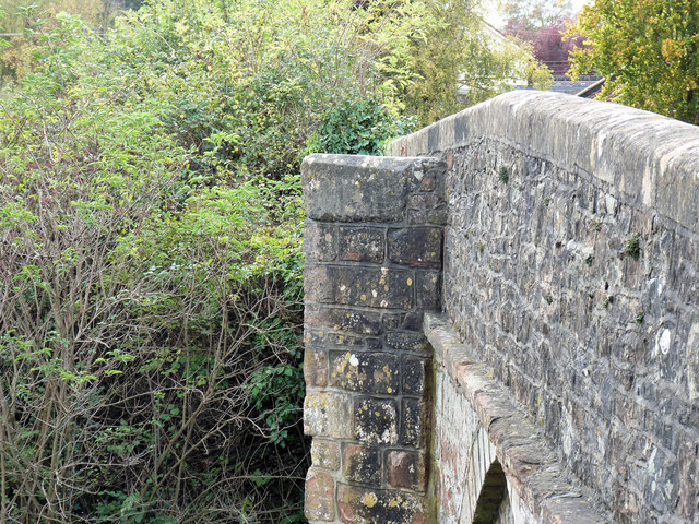
Image: © Rick Crowley Taken: 30 Oct 2011
The “tower” alongside it has a hollow at the top where apparently in the days of smallpox, food was left by villagers for the patients outside the village to collect.
Images are licensed for reuse under creativecommons.org/licenses/by-sa/2.0
Image Location


Leaflet Map data © OpenStreetMap
Latitude
51.363489
Longitude
-2.609244