Ellicombe crossroads
Introduction
The photograph on this page of Ellicombe crossroads by Peter Turner as part of the Geograph project.
The Geograph project started in 2005 with the aim of publishing, organising and preserving representative images for every square kilometre of Great Britain, Ireland and the Isle of Man.

There are currently over 7.5m images from over 14,400 individuals and you can help contribute to the project by visiting https://www.geograph.org.uk
Ellicombe crossroads
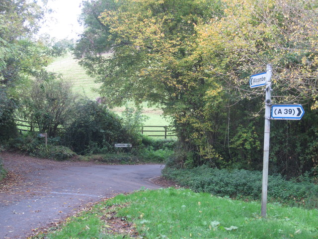
Image: © Peter Turner Taken: 29 Oct 2011
Only three of the four roads are surfaced. The fourth seems to be a bridle path or farm track although at one time they would all have been of more importance than nowadays.
Images are licensed for reuse under creativecommons.org/licenses/by-sa/2.0
Image Location


Leaflet Map data © OpenStreetMap
Latitude
51.190873
Longitude
-3.459988