Hydroelectric works, Dowally
Introduction
The photograph on this page of Hydroelectric works, Dowally by Richard Webb as part of the Geograph project.
The Geograph project started in 2005 with the aim of publishing, organising and preserving representative images for every square kilometre of Great Britain, Ireland and the Isle of Man.

There are currently over 7.5m images from over 14,400 individuals and you can help contribute to the project by visiting https://www.geograph.org.uk
Hydroelectric works, Dowally
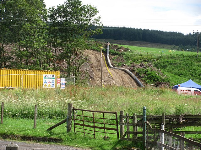
Image: © Richard Webb Taken: 18 Jul 2011
A small scale hydroelectric power station under construction. It uses water from the Dowally Burn which drops sharply to the Tay here.
Images are licensed for reuse under creativecommons.org/licenses/by-sa/2.0
Image Location


Leaflet Map data © OpenStreetMap
Latitude
56.612571
Longitude
-3.628132