Combeland Road, Alcombe
Introduction
The photograph on this page of Combeland Road, Alcombe by Peter Turner as part of the Geograph project.
The Geograph project started in 2005 with the aim of publishing, organising and preserving representative images for every square kilometre of Great Britain, Ireland and the Isle of Man.

There are currently over 7.5m images from over 14,400 individuals and you can help contribute to the project by visiting https://www.geograph.org.uk
Combeland Road, Alcombe
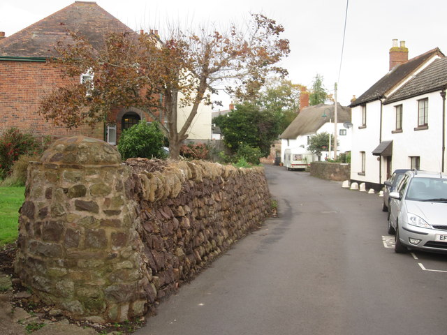
Image: © Peter Turner Taken: 29 Oct 2011
The rural side of a village that is being slowly absorbed into Minehead town.
Images are licensed for reuse under creativecommons.org/licenses/by-sa/2.0
Image Location


Leaflet Map data © OpenStreetMap
Latitude
51.19353
Longitude
-3.463221