Dead end, Lower Holyhead Road
Introduction
The photograph on this page of Dead end, Lower Holyhead Road by Anthony Vosper as part of the Geograph project.
The Geograph project started in 2005 with the aim of publishing, organising and preserving representative images for every square kilometre of Great Britain, Ireland and the Isle of Man.

There are currently over 7.5m images from over 14,400 individuals and you can help contribute to the project by visiting https://www.geograph.org.uk
Dead end, Lower Holyhead Road
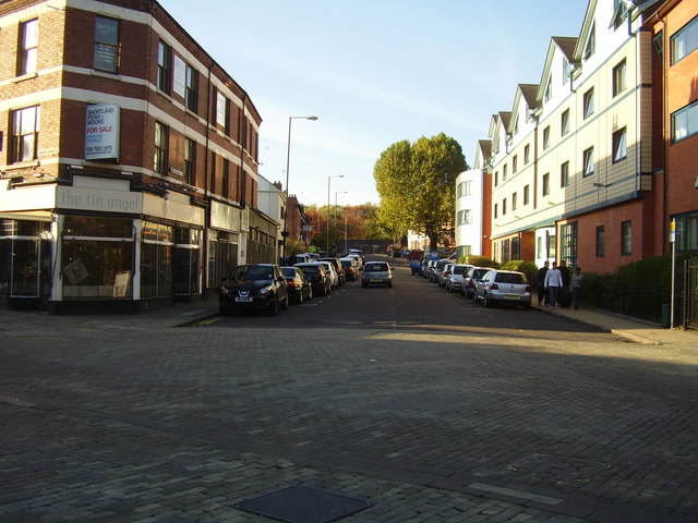
Image: © Anthony Vosper Taken: 27 Oct 2011
Up until the late 60's this as one of the main routes out of the city. A new ring road system was then built.Part of its wall can be seen at the top of the photograph.
Images are licensed for reuse under creativecommons.org/licenses/by-sa/2.0
Image Location
Latitude
52.408829
Longitude
-1.517194