Middlehope Hill trig, close up
Introduction
The photograph on this page of Middlehope Hill trig, close up by Richard Law as part of the Geograph project.
The Geograph project started in 2005 with the aim of publishing, organising and preserving representative images for every square kilometre of Great Britain, Ireland and the Isle of Man.

There are currently over 7.5m images from over 14,400 individuals and you can help contribute to the project by visiting https://www.geograph.org.uk
Middlehope Hill trig, close up
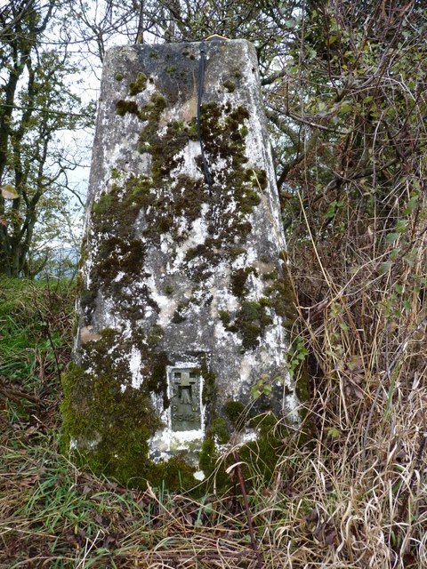
Image: © Richard Law Taken: 29 Oct 2011
This trig, right on the edge of Middlehopw Wood, is in need of a bit of de-mossing! And a coat of paint wouldn't go amiss either.
Images are licensed for reuse under creativecommons.org/licenses/by-sa/2.0
Image Location
Latitude
52.493062
Longitude
-2.728873