Middlehope Hill trig point
Introduction
The photograph on this page of Middlehope Hill trig point by Richard Law as part of the Geograph project.
The Geograph project started in 2005 with the aim of publishing, organising and preserving representative images for every square kilometre of Great Britain, Ireland and the Isle of Man.

There are currently over 7.5m images from over 14,400 individuals and you can help contribute to the project by visiting https://www.geograph.org.uk
Middlehope Hill trig point
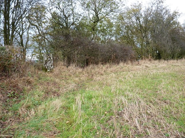
Image: © Richard Law Taken: 29 Oct 2011
The trig lies off the right of way, but there's a narrow track (deer?) along the top of the wood that leads right to it from the SW.
Images are licensed for reuse under creativecommons.org/licenses/by-sa/2.0
Image Location
Latitude
52.493062
Longitude
-2.728873