Small, disused quarry on Middlehope Hill
Introduction
The photograph on this page of Small, disused quarry on Middlehope Hill by Richard Law as part of the Geograph project.
The Geograph project started in 2005 with the aim of publishing, organising and preserving representative images for every square kilometre of Great Britain, Ireland and the Isle of Man.

There are currently over 7.5m images from over 14,400 individuals and you can help contribute to the project by visiting https://www.geograph.org.uk
Small, disused quarry on Middlehope Hill
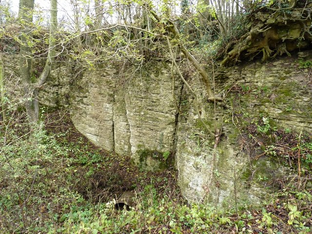
Image: © Richard Law Taken: 29 Oct 2011
Middlehope Hill follows a layer of the same sort of oolitic limestone that the main Wenlock Edge is composed of; here a small quarry has been opened to extract the stone for building or limemaking.
Images are licensed for reuse under creativecommons.org/licenses/by-sa/2.0
Image Location
Latitude
52.49125
Longitude
-2.731052