Longdale Lane
Introduction
The photograph on this page of Longdale Lane by Alan Murray-Rust as part of the Geograph project.
The Geograph project started in 2005 with the aim of publishing, organising and preserving representative images for every square kilometre of Great Britain, Ireland and the Isle of Man.

There are currently over 7.5m images from over 14,400 individuals and you can help contribute to the project by visiting https://www.geograph.org.uk
Longdale Lane
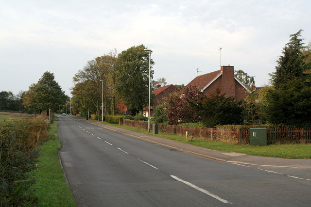
Image: © Alan Murray-Rust Taken: 23 Oct 2011
Looking northwest at the junction with Chapel Lane. Development of Ravenshead as a residential area started in the late 1930s within what had been part of the Newstead Abbey estate.
Images are licensed for reuse under creativecommons.org/licenses/by-sa/2.0
Image Location
Latitude
53.076905
Longitude
-1.156132