Princes Road
Introduction
The photograph on this page of Princes Road by HelenK as part of the Geograph project.
The Geograph project started in 2005 with the aim of publishing, organising and preserving representative images for every square kilometre of Great Britain, Ireland and the Isle of Man.

There are currently over 7.5m images from over 14,400 individuals and you can help contribute to the project by visiting https://www.geograph.org.uk
Princes Road
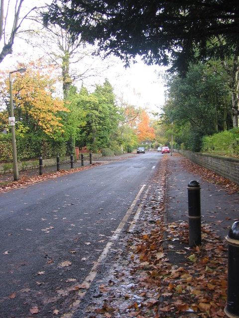
Image: © HelenK Taken: 28 Oct 2011
This is an unadopted road, but a few years ago the residents agreed to have it resurfaced, so it is smoother to drive along than many such roads.
Images are licensed for reuse under creativecommons.org/licenses/by-sa/2.0
Image Location
Latitude
53.420948
Longitude
-2.195574