Rigg Lane
Introduction
The photograph on this page of Rigg Lane by Alan Murray-Rust as part of the Geograph project.
The Geograph project started in 2005 with the aim of publishing, organising and preserving representative images for every square kilometre of Great Britain, Ireland and the Isle of Man.

There are currently over 7.5m images from over 14,400 individuals and you can help contribute to the project by visiting https://www.geograph.org.uk
Rigg Lane
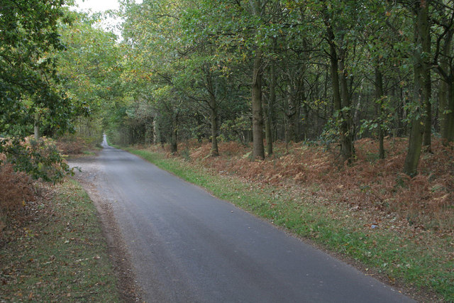
Image: © Alan Murray-Rust Taken: 23 Oct 2011
Looking towards Blidworth Bottoms. At this point it forms the boundary between Ravenshead and Blidworth parishes, but until 1986 would have been entirely in the latter.
Images are licensed for reuse under creativecommons.org/licenses/by-sa/2.0
Image Location
Latitude
53.074736
Longitude
-1.129605