Entering the reservoir
Introduction
The photograph on this page of Entering the reservoir by Alan Murray-Rust as part of the Geograph project.
The Geograph project started in 2005 with the aim of publishing, organising and preserving representative images for every square kilometre of Great Britain, Ireland and the Isle of Man.

There are currently over 7.5m images from over 14,400 individuals and you can help contribute to the project by visiting https://www.geograph.org.uk
Entering the reservoir
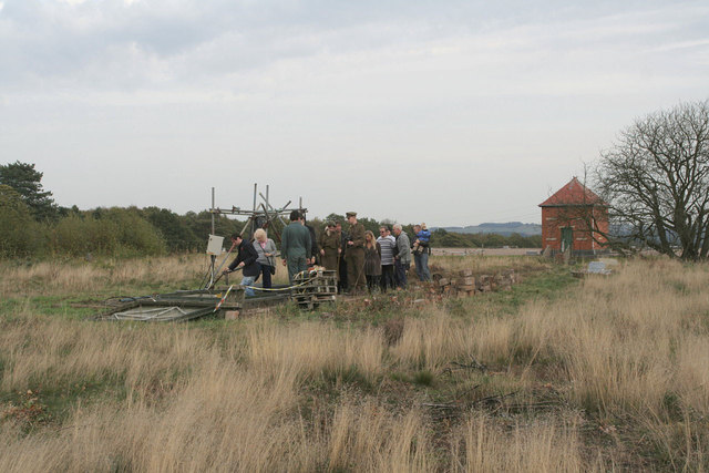
Image: © Alan Murray-Rust Taken: 23 Oct 2011
On most steaming days at Papplewick Pumping Station, guided tours of the disused reservoir No.1 are organised by volunteers. Originally there was a brick built recorder house over the entrance, similar to the one visible on the further reservoir, but this was demolished by Severn-Trent in the 1980s. The dress of some of the participants is due to the fact that this particular steaming weekend involved a special 1940s event.
Images are licensed for reuse under creativecommons.org/licenses/by-sa/2.0
Image Location
Latitude
53.063975
Longitude
-1.14564