View towards Papplewick
Introduction
The photograph on this page of View towards Papplewick by Alan Murray-Rust as part of the Geograph project.
The Geograph project started in 2005 with the aim of publishing, organising and preserving representative images for every square kilometre of Great Britain, Ireland and the Isle of Man.

There are currently over 7.5m images from over 14,400 individuals and you can help contribute to the project by visiting https://www.geograph.org.uk
View towards Papplewick
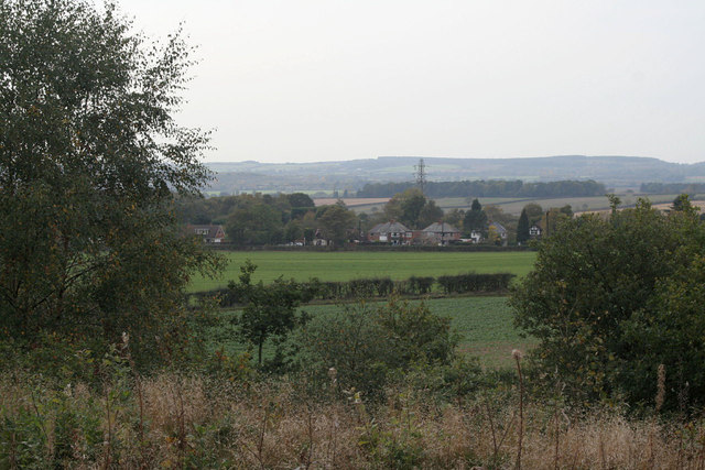
Image: © Alan Murray-Rust Taken: 23 Oct 2011
From the top of the disused reservoir No.1. The visible houses are ribbon development along the Nottingham to Mansfield main road (A60).
Images are licensed for reuse under creativecommons.org/licenses/by-sa/2.0
Image Location
Latitude
53.063977
Longitude
-1.145938