Miltonrigg Wood
Introduction
The photograph on this page of Miltonrigg Wood by Andrew Curtis as part of the Geograph project.
The Geograph project started in 2005 with the aim of publishing, organising and preserving representative images for every square kilometre of Great Britain, Ireland and the Isle of Man.

There are currently over 7.5m images from over 14,400 individuals and you can help contribute to the project by visiting https://www.geograph.org.uk
Miltonrigg Wood
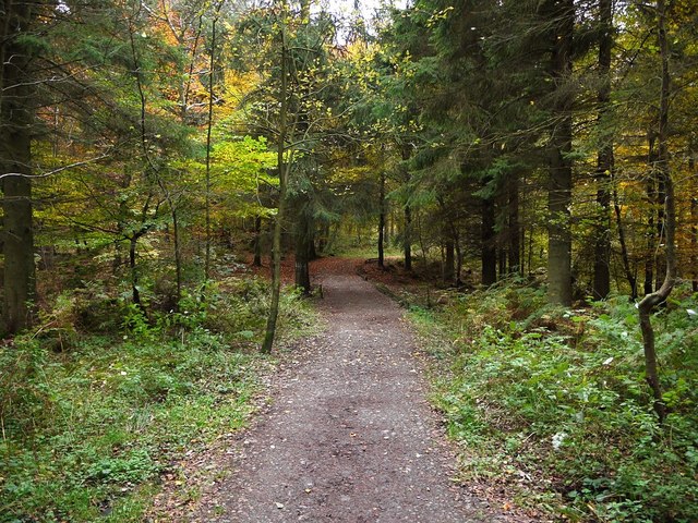
Image: © Andrew Curtis Taken: 29 Oct 2011
A large area of mixed ancient woodland owned by the Woodland Trust.
Images are licensed for reuse under creativecommons.org/licenses/by-sa/2.0
Image Location
Latitude
54.948664
Longitude
-2.682388